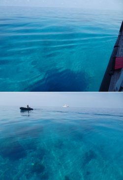
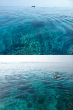
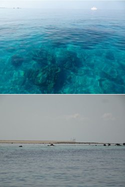
A Kimberley coast and offshore reefs kaleidoscope

JohnM

Enthusiast
Joined
Jun 7, 2006
Posts
11,144
Qantas
LT Gold
Righto, three weeks is enough time at home.

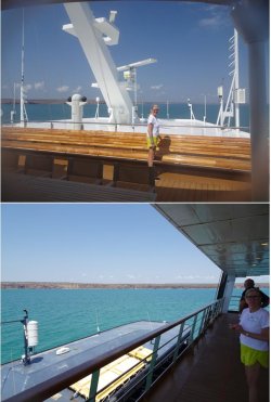
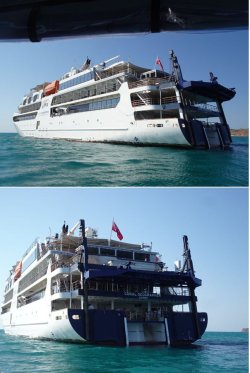
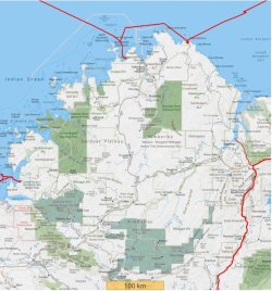
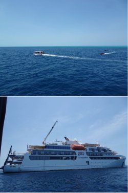
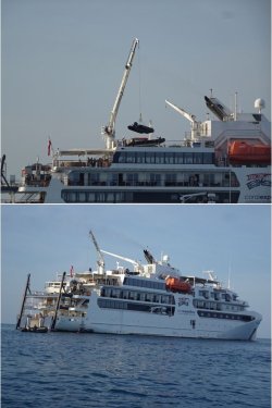
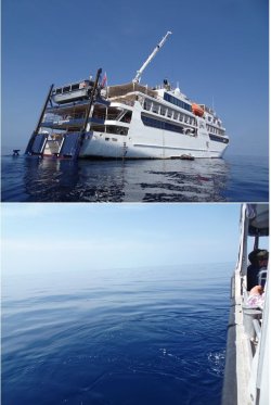
Tomorrow it’s back on the bird PER-DRW to overnight before boarding Coral Expeditions’ Coral Geographer for a 12-night voyage along the Kimberley coast and out to Ashmore Reef, Scott Reef and Rowley Shoals.

Coral Expeditions plies the Kimberley Coast Darwin-Broome and vice versa with their three vessels from April-September each year. This is their 30th year of Kimberley Coast voyaging.

Most voyages are 10 nights and do not extend to the further-out destinations. However, each season a very few voyages are extended.

I have previously voyaged from Broome-Wyndham early in the season (Awesome Kimberley coast cruise). That was on a smaller vessel taking only 12 pax and allowing for fishing, mud-crabbing, oyster collecting off the rocks, driving the main vessel under waterfalls, climbing up to the top of waterfalls and so on - many things that aren’t feasible on a larger 120-pax vessel.

It was also at the tail end of the wet season, rather than in high dry season as this voyage will be, so the waterfalls were still cranking. This voyage will be a nice contrast in many ways.

I have always had a hankering to get out to those offshore destinations and two voyages with Coral Expeditions in the last two years have ticked the boxes for us in terms of their style, vessel size, easy-going Australian crew and very active offering.

Add to that, PJM has not been on the Kimberley coast and the extended voyage fits neatly into school holidays meaning no leave issues for her. Sweet! Too good an opportunity to let pass, so I snared a booking immediately upon release last year.

My brother and SIL, and another couple, are also joining the party.
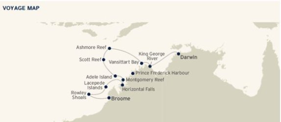
Snip 1.JPG

To be continued on return.
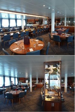
 
Resuming transmission after a sensational trip. The weather and seas were perfect for the duration and the voyage coincided with the highest tides the region experiences, reaching a spectacular 10.4m range on the day we were at Montgomery Reef.

September is about the only time it is comfortable to travel out to Ashmore Reef, hence the very few voyages that go there. The conditions could hardly have been more PERfect.

There were some unexpected incidents that could have been problematic, but the crew did a magnificent job with service recovery.

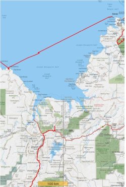
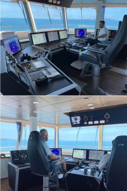
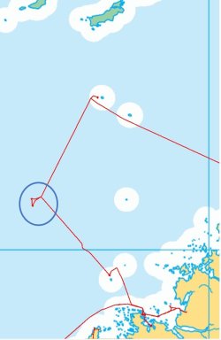
During the first night out of Darwin an oil pump motor failed and we were without propulsion for a while, then running on one propulsion system while the engineers effected repairs. While stressful for the engineers, it was hardly noticed by the pax. I was tracking the journey on my mapping app and I noticed a slight kink in the track the next morning. It had no material effect on the itinerary.

More serious, we subsequently had two medevac diversions a few days apart. Talking to the Captain towards the end of the trip, he said that his experience may be one medevac every couple of years, so this was unprecedented. The first was a diversion to Koolan Island to offload a pax to the RFDS at around midnight; the second was a more substantial diversion back to Broome after getting almost halfway out to Rowley Shoals.

Again, it was overnight. The first thing I noticed in the morning was my mapping app showing us back near Broome, then that the sun was at the wrong end of the ship! They ferried the pax ashore at about 0800h, then turned around and headed back out, cramming our Rowley Shoals activities into one longer day the next day.

A little schedule-juggling, but we did not miss any of the key sites or activities on the itinerary. The four guest lecturers were exceptional and they quickly added some more talks to occupy the unscheduled steaming time. Brilliant stuff by the crew.

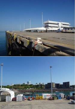
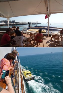
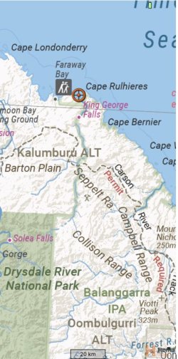
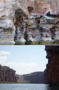
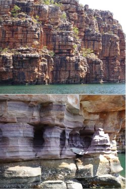
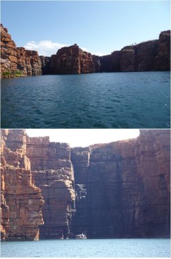
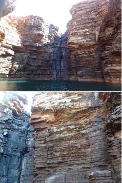
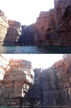
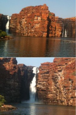
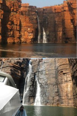
We departed Darwin at 0900h and steamed all night to Koolama Bay, the entry point for the King George River and King George Falls one of the Kimberley icons, along with Montgomery Reef and Horizontal Falls.

Snip 2.JPGSnip 3.JPGSnip 4.JPGSnip 5.JPGSnip 6.JPGSnip 7.JPGSnip 8.JPG
 
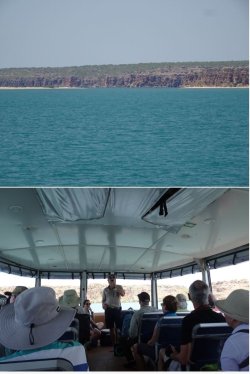
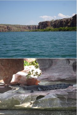
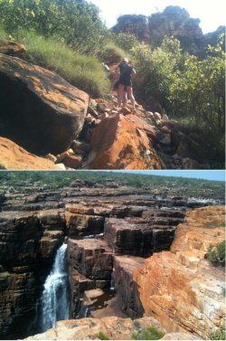
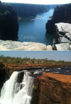
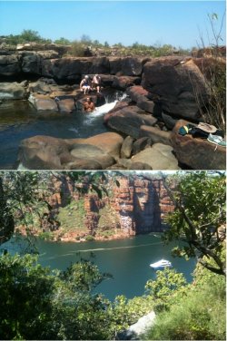
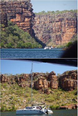
Next afternoon was spent exploring the King George River up to the King George Falls, which are totally dry at this time of the year.

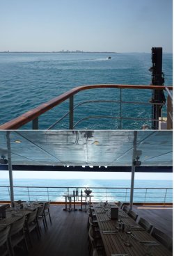
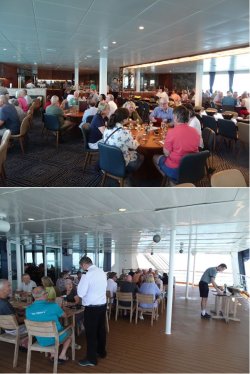
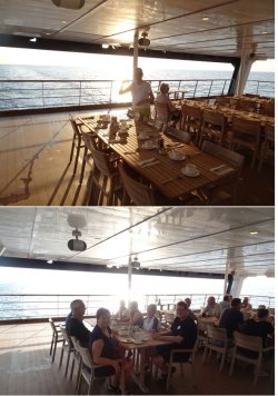
First, breakfast while under way, then anchoring in Koolama Bay before setting out after lunch in the two ‘Explorer’ expedition tenders that are ramped down at the rear of the ship.

Snip 9.JPGSnip 10.JPGSnip 11.JPGSnip 12.JPGSnip 13.JPG

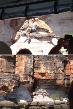
Asha, the great expedition crew leader, stepping ashore to sit on her ‘throne’. One of the things that we love about Coral Expeditions is that they provide a great range of jobs, and superb training, for a lot of young Australians.

They really learn how to do stuff – and interact with people generally old enough to be their grandparents. It’s all classically Australian laid-back – but respectful and reciprocated.

Simply - first rate, and GOOD FUN. No w@nky b*cough and not ocker.

Snip 14.JPGSnip 15.JPGSnip 16.JPG
 
By way of comparison, from my 2012 trip.

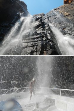
30 April 2012 and on a 26m vessel that could venture upriver and nose under the flowing Falls (at least the RHS Falls), with your correspondent taking a shower (the Gath surfing helmet we had found washed up on a beach a few days earlier proved very useful!)

Snip 20.JPGSnip 21.JPGSnip 22.JPG

The small group (10 pax) on that voyage gave the flexibility to climb to the top for a great view and to have a swim.

Snip 23.JPGSnip 24.JPGSnip 25.JPG
 
The Frequent Flyer Concierge team takes the hard work out of finding reward seat availability. Using their expert knowledge and specialised tools, they'll help you book a great trip that maximises the value for your points.

AFF Supporters can remove this and all advertisements

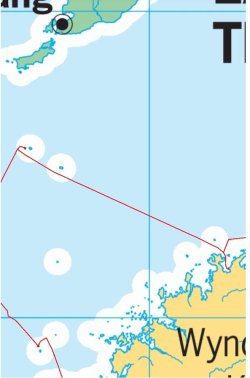
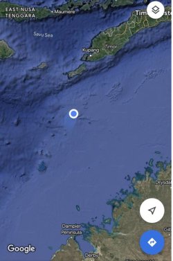
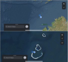
Then a long transit out to Ashmore Reef. The Territory of Ashmore and Cartier Islands is an uninhabited external territory of Australia, consisting of four low-lying tropical islands in two separate reefs, and the 12-nautical mile territorial sea. The territory is on the edge of the continental shelf, 300nm off the Kimberley and 89nm S of the Indonesian island of Rote.

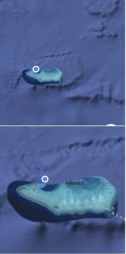
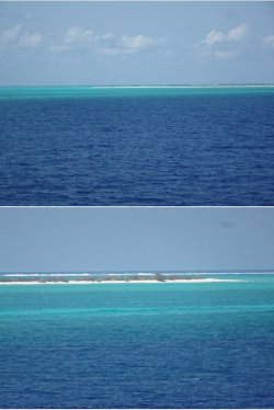
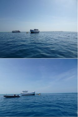
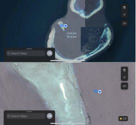
We anchored off West Island.

Snip 40.JPG

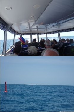
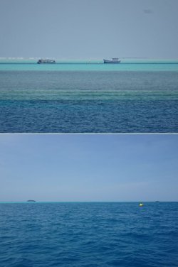
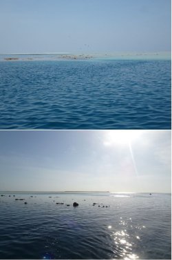
A closer view shows a large lagoon-like bay. It has channels clearly marked with pylon red and green channel markers, and there are some fixed moorings, so to that extent it is quite ‘developed’.

Snip 41.JPGSnip 42.JPGSnip 43.JPG

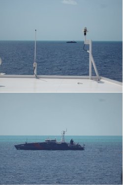
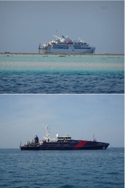
A Border Force vessel is moored there, apparently for 360 days/year. Why they vacate for the other five is a mystery.

Snip 44.JPG

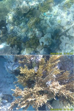
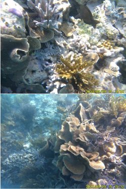
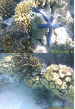
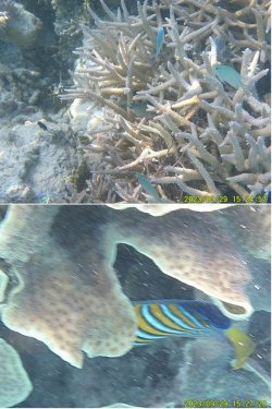
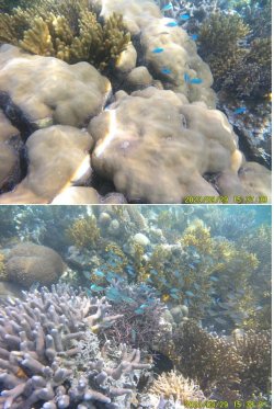
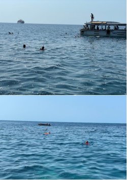
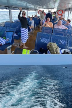
Our activities here were two snorkelling sessions, morning and afternoon. Snorkelling is done off the ‘Explorers’, with Zodiacs used as nimble safety vessels and pick-up platforms if required.
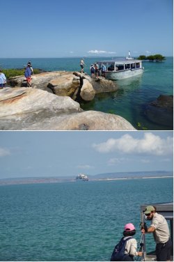
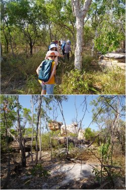
There was scuba diving, led by an onboard certified scuba instructor, for the accredited.

Snip 45.JPGSnip 46.JPG
 
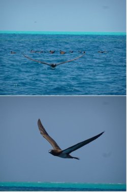
We were to see innumerable brown coughies (Brown coughy - Wikipedia) during the voyage.

Snip 47.JPG

There is an Indonesian-type fishing vessel moored in the lagoon for use as a training platform by ABF.

Snip 48.JPGSnip 49.JPG

The tide was high for the morning snorkel, reaching its highest of 3.7m around noon, then falling during the afternoon to 0.5m at about 1800h. We ran to CST during the voyage, so really 1030h and 1630h WST.

Afternoon reef exposure.

Snip 50.JPGSnip 51.JPGSnip 52.JPGSnip 53.JPG
 
Looks like you didn’t have the “don’t touch the bottom“ rule applied, as it was when we were there a couple of years ago.

Optical illusion. The water was crystal clear.

Always don't touch the bottom (unless off a sandy beach, of course.)
 
Always don't touch the bottom (unless off a sandy beach, of course.)
When we visited Ashmore in zodiacs, we were told we could not get out of the zodiacs as we were not allowed to touch aerial or submerged ground because of the ecology status, IIRC. So we floated a few m offshore and observed. You might recall from my TR that our captain was the only person who ‘grounded’ , having a cuddle with his +1 along the shoreline. 😡
 
When we visited Ashmore in zodiacs, we were told we could not get out of the zodiacs as we were not allowed to touch aerial or submerged ground because of the ecology status, IIRC. So we floated a few m offshore and observed. You might recall from my TR that our captain was the only person who ‘grounded’ , having a cuddle with his +1 along the shoreline. 😡

I certainly recall what I consider to be the disgraceful conduct of that Ponant Captain.

I don't know who owns/maintains the fixed moorings that our 'Explorers' tied up to, but it was clear that we had permission to snorkel (and scuba dive.) Those activities were always part of the program.

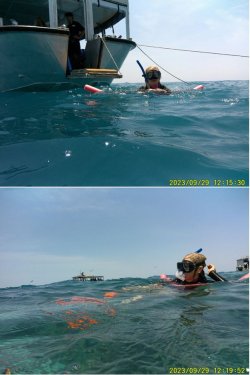
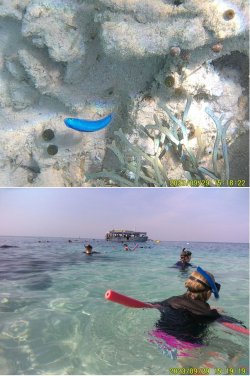
The water was quite deep at the moorings, and we swam across towards the edge of the reef and then drifted along it. With the tide out in the afternoon, the water was obviously shallower, but still deep enough to hover around the edges of reef without touching the coral (or the sandy bottom, which was deeper than it appeared in that pic of PJM in the water. Neither she nor I could touch the bottom there, despite it seeming very shallow.)

The current was a little stronger and swirling in the morning, minimal in the afternoon.

Given that Coral Expeditions have been doing the Kimberley Coast for 30 years, and maybe because they are Australian, they might have some dispensations that the Frogs (except what their arrogant Captain seems to think for himself and his squeeze...:mad:) don't - but that that's pure speculation on my part.

As you will later see, the other Ponant vessel that plies the Kimberley, the LeSoleal came into Talbot Bay (Horizontal Falls location) while we were there and anchored nearby. We could go through Horizontal Falls in our Zodiacs, but I believe the Frogs do not have that permission and were using the local operator that flies people in by floatplane from BME and has a large pontoon around the corner a little further up the bay.
 
The water was quite deep at the moorings, and we swam across towards the edge of the reef and then drifted along it. With the tide out in the afternoon, the water was obviously shallower, but still deep enough to hover around the edges of reef without touching the coral (or the sandy bottom, which was deeper than it appeared in that pic of PJM in the water. Neither she nor I could touch the bottom there, despite it seeming very shallow.)

By the sound of it, the snorkelling is in an area that might be deemed "too deep to touch bottom", so no drama.

but I believe the Frogs do not have that permission and were using the local operator that flies people in by floatplane from BME and has a large pontoon around the corner a little further up the bay.

When we went, the Horiz Falls had just been re-opened by a week after the accident and people were going through, but our lot, having advised pre-cruise that the Falls were off, and refunded our $$, weren't nimble enough to get us re-booked (except, of course, the aforesaid Captain, who zoomed back and forth through the Falls in front of us ...).

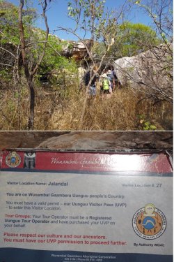
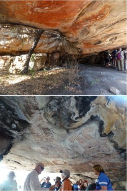
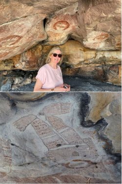
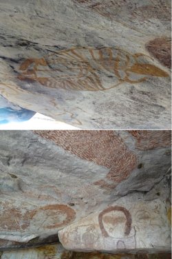
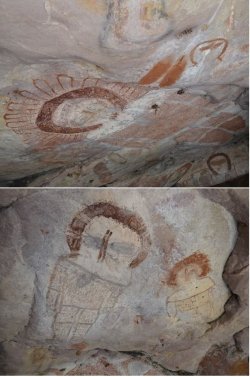
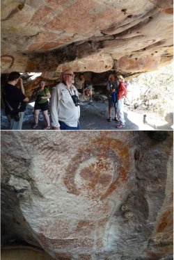
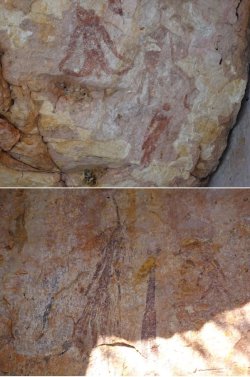
I'll be interested to see if there is any 'no photographs please' at any of the art sites - we had two, but bPeteB didn't report any.
 
I'll be interested to see if there is any 'no photographs please' at any of the art sites - we had two, but bPeteB didn't report any.

We only visited the one rock art site and there was no restriction on photography.

On our recent trip to Kakadu (Shooting through to Kakadu), where we went to many rock art sites, there was only a single item at one site that it was requested not to photograph.

In Arnhem Land (Adventure across Arnhem Land), again visiting a large number of large rock art sites, there were no restrictions.
 
Moving on to Scott Reef overnight.

Snip 62.JPGSnip 63.JPGSnip 64.JPG

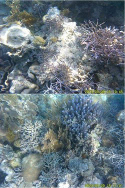
Again, morning and afternoon snorkelling and scuba diving.

Snip 65.JPG

Talking of a squeeze... :)😜

After the morning action it was back to the ship for lunch while moving along to another reef in the group. Not a great distance, so the Zodiacs just tagged along.

Snip 66.JPG

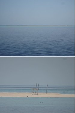
The original plan was that we would land on the sandy cay for snorkelling off the beach, to be followed by drinks on the beach. However, the channel allowing the ‘Explorers’ access had silted over since the previous voyage a couple of weeks before, so the landing was foregone in favour of snorkelling off the tenders, with drinks to follow after that.

There was a strange structure on the cay that apparently had something to do with biologists who do surveys there.

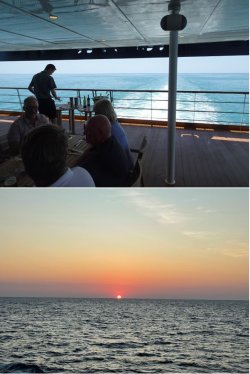
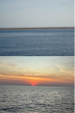
It’s worth noting that throughout the voyage, the air was quite smoky from a lot of burning going on across the NT in particular. That’s why the pics look a bit dull. It also explains the very red sunsets and sunrises.

Snip 67.JPG

Glassy calm and crystal-clear water deeper than it looks. Just over a 3m tidal range. Just PERfect.

Snip 68.JPGSnip 69.JPGSnip 70.JPGSnip 71.JPG
 
Back
Top