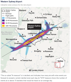
Not really sure why some of the diagrams in the previous post post show impact to Sydney proper during the day; doubtful any approach to WSI would start over SYD they are no where near each other. SMH seems to indicate all impact is well west of the city.
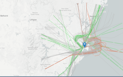
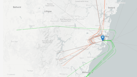
Flight paths Vs noise contours at ground level at various dB. And yes, those ARE the main proposed flight paths, starting/passing over Sydney etc - I guess where they've been put is a function of required aircraft sink rate, other traffic from SYD, Blacktown, Camden, also military and population centres.
@AviatorInsight or
@jb747 - any observations on their usability/ease of use from a pilot's point of view?
The SMH showed just one of the 4 or more combinations of noise distribution depending on runway direction used, coughulative or one-off events, and night or day operation and of course the contours change as the flight intensity increases over time, and the aircraft used changes (projected).
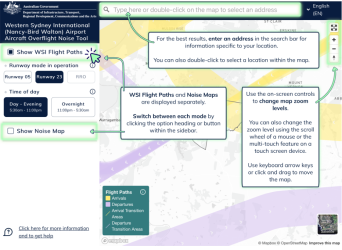
If people go to the 'Noise tool' at the wsiflightpaths link above, they'll find
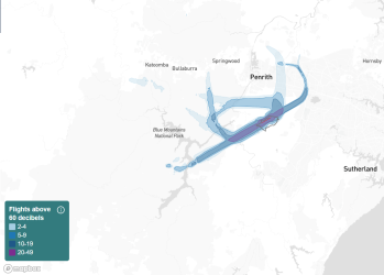
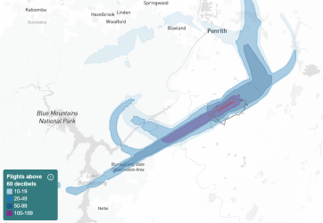
Lots of different perms and coms. This for N60 using runway 05 in 2030
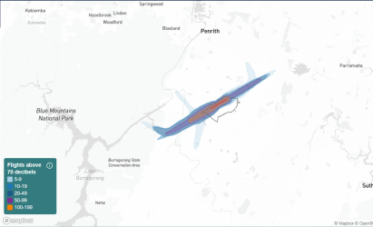
Runway 23 N70 in 2033
Either runway, overnight, 2033
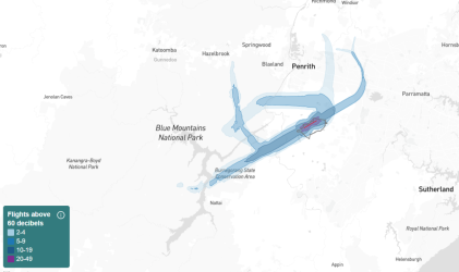
Same, 2040
