Murals in the Bush - a day trip from Perth to Collie & surrounds

Status
Not open for further replies.

OZDUCK

Established Member
Joined
Aug 1, 2010
Posts
3,656
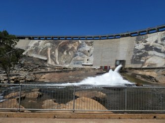
Today, 6/1/2021, we took a daytrip to see the murals being painted on the wall of Wellington Dam which is about 200 Km south of Perth. We also had a quick look around the nearby town of Collie. Wellington Dam is the "second largest surface water catchment" in W.A - the largest is the Ord Dam. To quote Collie Water "The water in Wellington Dam is not drinking water quality due to high salinity and bromide, and because it is subject to the risk of contamination from recreational activities in the dam’s water body, runoff from local towns, and industrial and farming activities within the catchment.".

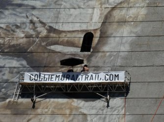
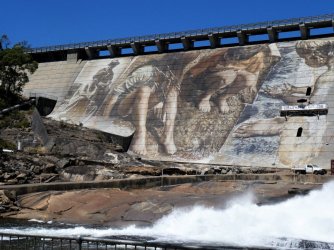
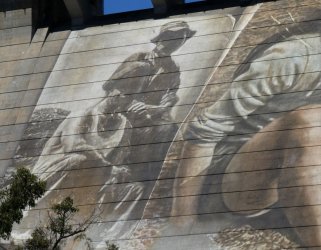
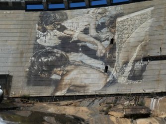
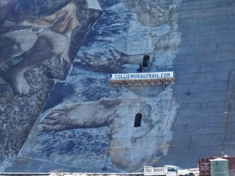
As a community project by the W.A Govt. the painting of a large mural on the wall of the dam and a number of smaller murals in the town of Collie has begun over the last few months. The dam wall is 34 metres wide and 366 metres across so it forms a pretty big 'canvas'. See Collie Mural Trail for some more info. The artist doing the dam mural is an Australian, Guido Van Helten, who has done murals across the world. In Australia he has painted murals in places like Brim in Victora, Port Kembla, Winton and Melbourne. It is worth having a look at his website - Guido van Helten

Anyway down to the photos.

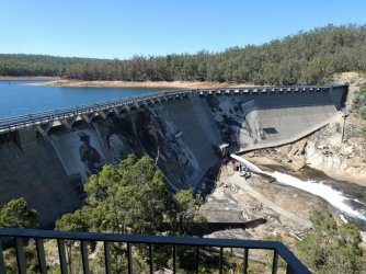
The dam and wall from the lookout. It is really strange to see an almost full dam near Perth and even stranger to see an outflow - used to drain the "salts" from the bottom layer of the water. You can see a shadow across the dam wall. This made taking good photos very difficult at around 10:00 so we came back in the afternoon.
Dam8.jpg

Dam9.jpg

Some photos from about 3 1/2 hours later.
Dam19.jpg

Dam14.jpg

Dam15.jpg

Dam17.jpg

Dam16.jpg

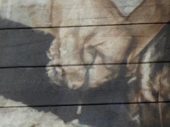
A close-up showing the fine detail of a child squeezing wet sand through her fingers.
Dam18.jpg
 
Last edited:
There is a nice drive along the Collie River below the dam.

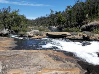
Some rapids

Dam23.jpg

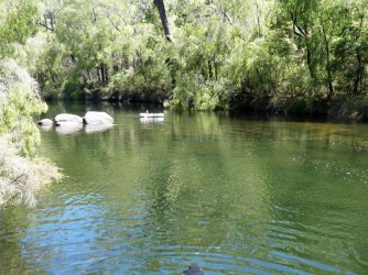
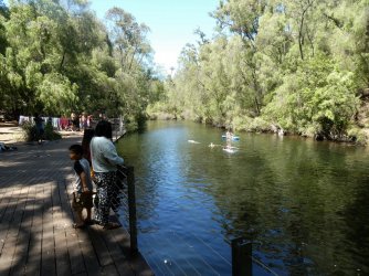
The river then slows down and forms pools

Dam24.jpg

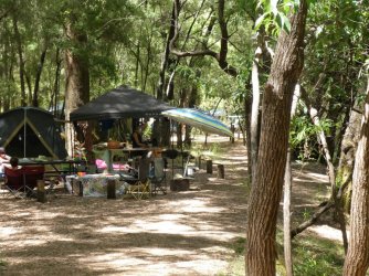
This is a National Park and there are some basic campsite by the waters edge with a composting toilet block.

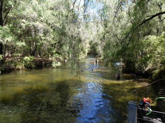
One of the favourite spots is Honeymooon Pool. A lot of these trees are a W.A native called Weeping Peppermint (Aginis flexuosa) and you can smell their distinctive aroma as soon as you step out of the car.

Dam29.jpg


Dam25.jpg

Dam28.jpg

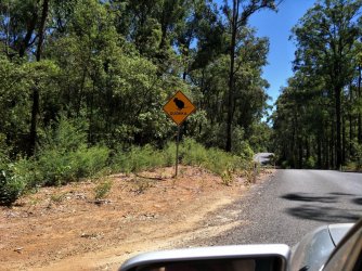
There are a few small colonies of Quokka's around these parts. They are far more shy those on Rottnest Island.

dam2.jpg

Some more photos to follow tomorrow.
 
Last edited:
Is any of this water used for local irrigation ?
 
Is any of this water used for local irrigation ?

Yes it is used for local irrigation but again the salinity problems reduce its usefulness.

 
After our initial time we went into Collie for lunch and a bit a look around. It is the only Coal mining area in W.A but all the mines are out of town. The town itself is very tidy and well looked after but with, as far as I could see, no particular architectural highlights.

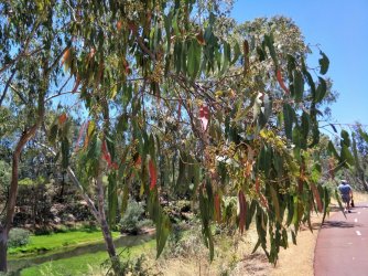
There was a nice bike/walk path alongside the river with some attractive trees.

Dam26.jpg

Dam21.jpg

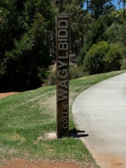
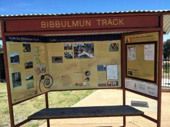
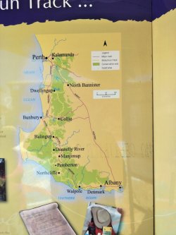
The Bibbulmun Track passes close by Collie. It is an 1,003 Km walking trail from Perth to Albany. Dam3.jpg

Dam32.jpg

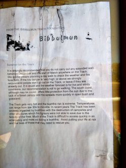
The printed notice gives some pretty good advice about using the track in summer.

Dam4.jpg


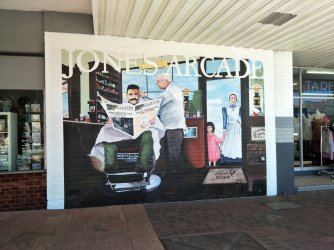
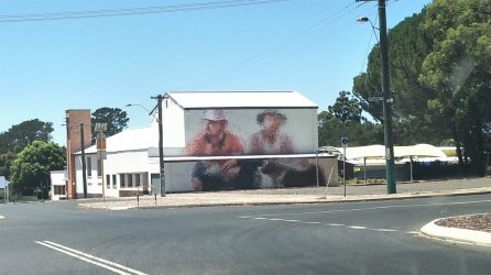
There are about 12 murals, and growing, in town. The local Tourist Information Office is very helpful and there are town maps and mural maps available for free.

Here are a couple of examples.

Dam5.jpg

This second photo is not out of focus. The mural is done in a sort of 'pointillist' style.

Dam6.jpg

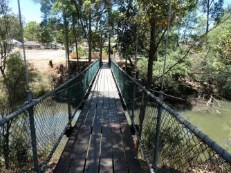
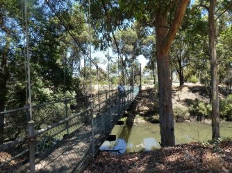
Our family used to visit Collie when I was about 5 or 6 to see an uncle. He lived by the river and this lead me to acquire a mortal enemy in this suspension bridge. In my memories it was something like those rope bridges crossing deep gorges in the Andes. Now I am forced to admit that my terrified memories were probably due to my two older brothers luring me onto the bridge and then shaking and rocking it to scare me.

Dam30.jpg

Even now you can see how I still look uncomfortable standing on this perfectly placid bridge.

Dam11.jpg

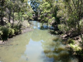
The not quite a raging torrent that the bridge crosses.

Dam31.jpg
 
Last edited:
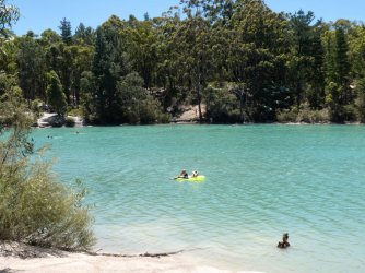
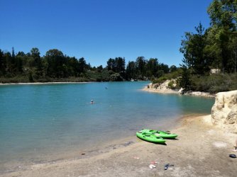
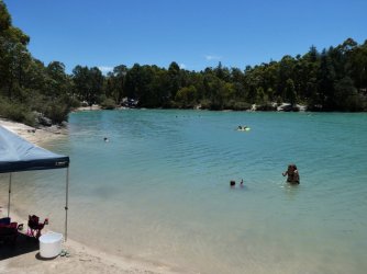
After lunch we went back to the dam. On the way there we stopped at the Black Diamond Lake. Every teenager in town, and their dog, was having a swim there. The lake was actually formed after an open coat coal mine was abandoned in the 1950's. The colour of the water is said to because the mining uncovered the limestone understrata - but I have also seen some reports that the relatively high acidity of the water is the reason. Regardless of the reason it a very attractive azure colour.

Dam12.jpg

Dam27.jpg

Dam13.jpg

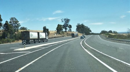
The road out of town, called the Coalfields Highway, has recently been widened with lots of passing lanes and double lane sections added. It was always a dangerous road and now has to cater for three trailer road trains.

Dam7.jpg


I have a few more photos to add but I have to do some 'research' first.
 
The Frequent Flyer Concierge team takes the hard work out of finding reward seat availability. Using their expert knowledge and specialised tools, they'll help you book a great trip that maximises the value for your points.

AFF Supporters can remove this and all advertisements

Status
Not open for further replies.

Enhance your AFF viewing experience!!

From just $6 we'll remove all advertisements so that you can enjoy a cleaner and uninterupted viewing experience.

And you'll be supporting us so that we can continue to provide this valuable resource :)


Sample AFF with no advertisements? More..
Back
Top