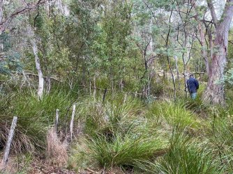
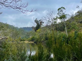
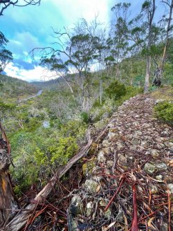
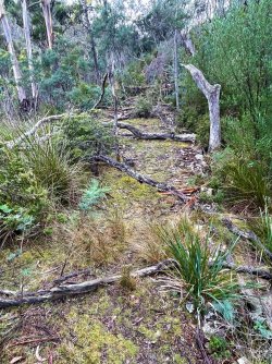
A bit of a Saturday stroll

Status
Not open for further replies.

RooFlyer

Veteran Member
Joined
Nov 12, 2012
Posts
25,518
Qantas
Platinum
Virgin
Platinum
Star Alliance
Silver
Hardly worthy of a Trip Report, but rather than clogging up The View from my Office, a few pics of a walk a mate and I did yesterday, which turned (by our choice) into something a bit more strenuous than intended.

I'm currently researching the history of the old 'convict or coach' road in eastern Tasmania, which was constructed in 1846/47 - by convict labour, natch - and has a number of interesting structures or ruins along it. These haven't been seen for many years (since a fire through the area), and never by myself, so the object was to re-discover them again and hopefully properly document them. They were maybe 4-6 'lime kilns', where limestone was burned to make slaked lime for mortar. There is also the remnants of the hut the guy used to live in between 1846-1850 and of course the road structure itself.

The road goes along the west and north side of a river; on the opposite side is the modern Tasman Highway.
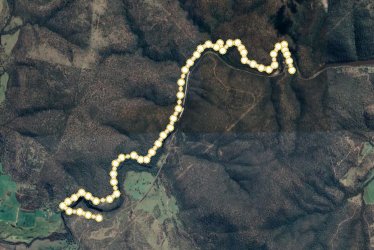
Route.JPG

The terrain is OK at the south-western end, but gets very steep and cliffy along the northern, west-east portion, which is known a "Paradise Gorge' - named, as they say, in a 'contrarian' way :eek: , as it was hell on earth to make the road, and then to drive along it, even into the 1900s. This is the same view using LIDAR, which gives altitude/topography to about 0.5m.
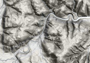
Lidar.JPG


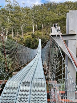
We started at the western end of this sction and crossed the river by a convenient suspension bridge:
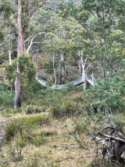
Suspension bridge.jpg

Suspension bridge 1.jpg

At first the old road was pretty open and benign ...
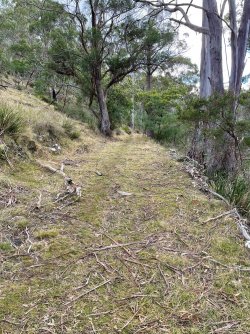
Convict road west end.jpg

Even as it got a bit overgrown, still a walk in the park.
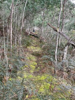
Convict road open.jpg

Of course in flatter areas it was a bit boggy and the sedges came into their own (time for another fire, I think :)
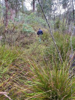
Convict road overgrown.jpg
 
Last edited:
After about an hour we reached the area where the structures had been described to us - a small gully leading into in between 2 bends in the river. Being totally overgrown, we knew it woud be difficult to spot them (the kiln remains were essentially small brick-lined pits), so our object was first to find the limestone rock, which was just ocurred in a pocket amongst other rock types. Being a couple of old geos, shoud be a doddle - right?

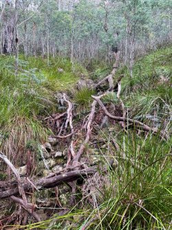
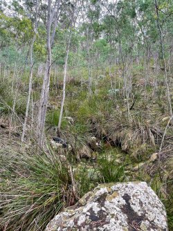
Tricky bit. As there are a lot of down-slope boulders, soil and sedges covering all the bedrock, the best thing to do is look in the creeks for the bedrock. So, we grovelled about in these creeks for half an hour, upslope, looking for outcrops. I haven't done this for about 20 years! (And it felt like it!)

Creek outcrops 1.jpg

Creek outcrops.jpg

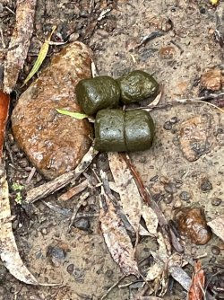
The result? Nothing. No limestone, at least. Grovelled around more looking for the kilns and then the hut ruin - nothing. :mad: Were we given bad directions? The lack of the rock type ... there should be asome sort of working where they took the limestone out to burn ... indicated that were might have the wrong place. So we decided to keep going to the next place that roughly met the description of the locaity described to us. Lotsa wombats about:

Wombat.jpg

At the next locality - definitely the wrong rock type. So we were stuffed. At this point we were almost at the theoretical half-way point so we decided to push on to the other end, rather than return to the start. We had walked most of the way before, so we knew what the country was like ... until I wanted to take a deviation, to explore a section of the early road route that was marked on early maps, but seemed not to have been actually built. Hmmm...

Our destination was somewhere over the ridge/skyline in the far distance ...

mid point view.jpg

Its OK - there's a track, right?

Steeper toad.jpg

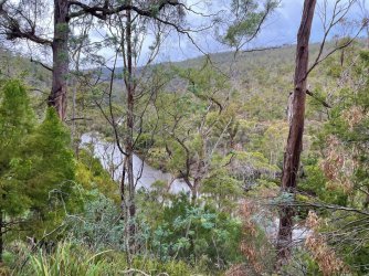
Pretty riverside

River.jpg
 
Last edited:
Moving on, all was good. Highway and river to the left; good constructed convict road:

Road near bend.jpg

Then we reached the point where the constructed track deviated from where it was originally marked out by the surveyor, and was actually plotted as a 'road' on a map of the time (1840s). It seemed likely that, in spite of the map, no road had actually been built in this section - it picked up again a few km on. We had been up the deviation track before, and knew it didn't go where the contructed road picked up again and and where we were bound for. I was keen to do a bit of exploration of this area, so we turned right down the big creek we were in, rather than following the same track up behind the hill. We later learned that this might have been a mistake :oops: :(.

There was a really neat causeway built a little way across the creek flats (and beyond that, we assume there was a bit of a bridge, as any full causeway would be washed away every winter rain).

Causeway.jpg

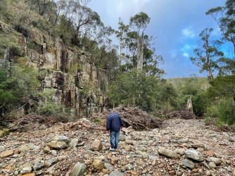
Down the bed of a creek leading into the main river; this would be a monster after heavy rains. Those cliffs on the left contined for some way ...

Burnt bridge creek.jpg

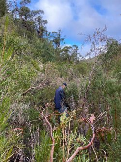
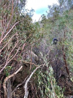
At the end of this creek bed, we thought we might see if we could ford the main river to the highway, and call for a lift home. Anyone ever gone through thick Tea-tree scrub?

Teatree scrub 1.jpg

Teatree scrub.jpg

Neither did we. Or we did, but the point where we broke through to the river it wasn't crossable, and it was impossible to try other points, so we bush-bashed back and decided to do things the hard way - around the cliffs until we found the old convict road again.

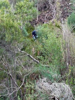
The bush at the base of the cliffs was just too thick, so we had to go up a very steep slope until the vegetation thinned out enough for us to follow the contour. This was a climb on all fours a lot of the time. Then, what goes up, must come down. We scrabbled down into another steep ravine. At this point I was contemplating helicopter extraction points...

Steep ravine.jpg
 
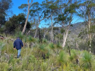
Across a ridge and a nice grove of Xantherea. At this point we didn't care ...

Xantherea.jpg

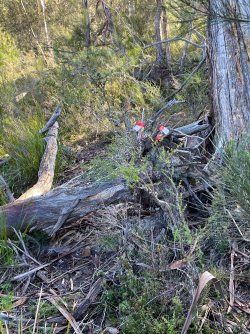
Finally, we found the old convict road again where it was definitely formed. This remote point is very infrequently travelled, even by bushwalkers these days, so someone kindly marked the track:

Eastern track.jpg

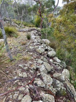
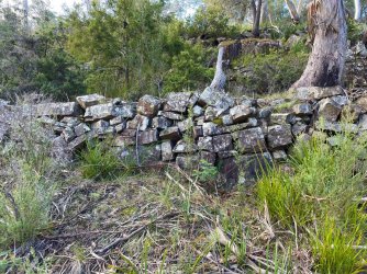
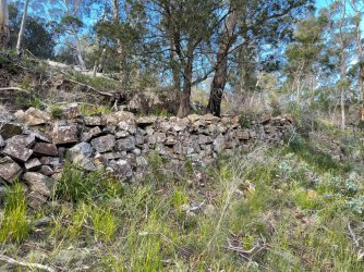
But the reward was that along here is some very nicely preserved parts of the road:

Convict road mid.jpg

Eastern wall 1.jpg

Eastern wall.jpg

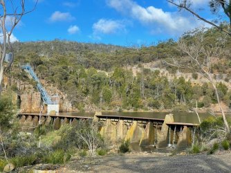
And finally, our destination - the local dam.

Dam.jpg

After 5.5 hrs and 8.5km, we were pretty stuffed. And my bloody Apple watch only credited me with 15 mins of 'exercise' :mad: . Although the pics don't show it, we did have a backpack of stuff for a day's bushwalk, and we had phone (or text) reception for much of the time, so even though we had to do more than we anticipated, it wasn't 'near run thing'.

Will have to go back again and find those ruins ...
 
The Frequent Flyer Concierge team takes the hard work out of finding reward seat availability. Using their expert knowledge and specialised tools, they'll help you book a great trip that maximises the value for your points.

AFF Supporters can remove this and all advertisements

Status
Not open for further replies.

Enhance your AFF viewing experience!!

From just $6 we'll remove all advertisements so that you can enjoy a cleaner and uninterupted viewing experience.

And you'll be supporting us so that we can continue to provide this valuable resource :)


Sample AFF with no advertisements? More..
Back
Top