B737 Waterbomber crashes in south of W.A. Both pilots said to be not seriously injured but in hospital.

OZDUCK

Established Member
Joined
Aug 1, 2010
Posts
3,661
There is still relatively little detail about what has happened but it appears that a Coulson Aviation B737 Water Bomber has crashed after taking off from Bunbury Airport to fight a fire in the Fitzgerald National Park. Hopefully they are truly ok. I think this is the first crash of a nonmilitary large jet aircraft in Australia.


yes, very little info at this stage but will be interested in getting details about what happened and how they managed to walk away. not clear if it is a rejected T/O with overrun or they were climbing out. of course mainstream media not the most reliable source of factual info.
Edit. I understand they took off at 3.30ish and crahed at 4.40pm.
Not a rejected TO.

Looking at FR24 it was in the vicinity of the fire.

They just done a pass at ~600ft and made a right circuit back to the same track.

Gradual decay in altitude before the FR track ends abruptly.
 
Last edited:
Firebombing pilots are incredibly skilled flying high risk maneuvers particularly for large firebombers as in this case. Unfortunately there have been a number of crashes, thank goodness these pilots seem relatively unscathed.
 
Reported on Perth ABC TV news tonight; sketchy report.

First mention was that it was near 'Ravensthorpe', then every other utterance by our esteemed ABC newsreader Pamela Medlen referred to 'ravenswood'. :rolleyes:

Either the writer of the autocue script screwed up or Pamela 'misread/misspoke'.
 
That FR24 trace shows climb out ok until sudden deviation to right and then gradual loss of speed and altitude with a few spikes in rate of descent. Possible control surface/structural failure after load release?
 
The Frequent Flyer Concierge team takes the hard work out of finding reward seat availability. Using their expert knowledge and specialised tools, they'll help you book a great trip that maximises the value for your points.

AFF Supporters can remove this and all advertisements

Possible control surface/structural failure after load release?
These aircraft operate at very low speeds and low altitude. Additionally, The winds caused by bushfires can cause windshear and can change direction very quickly - say headwind into tailwind.

The Coulson Herc 130 in NSW crashed after stalling in similar conditions

This 737 cause yet unknown, but low speed low altitude in gusting wind and windshear conditions could be factors. Bits falling off aircraft?. One way to tell is whether all parts of the aircraft arrived to the same crash site or not

These Coulson 737 are ex Southwest 737-300 which were modified by Coulson.

our esteemed
Not PERfect.

(Taking Evasive manoeuvres)🤣
 
Last edited:
That FR24 trace shows climb out ok until sudden deviation to right and then gradual loss of speed and altitude with a few spikes in rate of descent.
It does not show that at all. Here is a link to FR24 and its data. Note that the image showing the track is not north aligned (north is on the right side of the image).
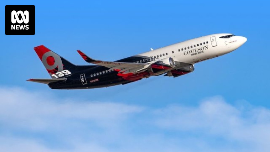
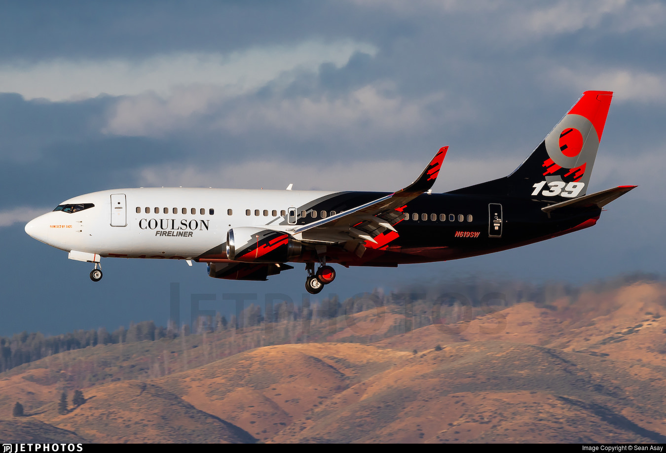
Possible control surface/structural failure after load release?
Anything is possible, but unless you have sources beyond the media, I expect that there is no data to support this bit of conjecture. Have a theory, by all means, but base it on something.

What can be worked out from the FR24 data, that might support any theory?

Firstly the crew survived, so it must have been more or less wings level, and under control. They were actually bombing near a ravine, so they must have been lucky enough to have come down on level(ish) terrain.

The approximate wind can be worked out by comparing the ground speed from the crash heading to it's reciprocal. There were two passes, so you can do it twice. That gives a headwind of about 20 knots (half of the difference between the two g/s values).

On the previous pass, at the last GPS position, their altitude was 650-675' and ground speed about 118 knots. Sink rate was roughly 400 fpm. On the accident pass though, the ground speed was down around 100 knots, and the sink rate is quite a bit higher, at around 1,000 fpm. For reference, note that an approach to landing in an airliner will be at about 600-700 fpm, and that 1,000 is generally considered the cutoff for an unstable approach. From our rough wind calculation, the IAS on the first pass would have been about 135-140 knots, but on the second around 120 knots. The angle of the approach on the first pass would have been around -2º, but on the second it's going to be around -4 to -5º. The upshot of all of this, is that the aircraft is in a lower energy state, and will need at greater pitch change to arrest the rate of descent. That will equate to requiring more altitude.
 
Thanks. I posed/based my question on this:
You can rule everything before time 08:10 out, as that's simply the transit to the fire site. The first pass is the blip at about 8:10 and the second is at 08:14.

Whilst the graphs are interesting, you need the granular data to make any real sense of the traces.
 
There is still relatively little detail about what has happened but it appears that a Coulson Aviation B737 Water Bomber has crashed after taking off from Bunbury Airport to fight a fire in the Fitzgerald National Park. Hopefully they are truly ok. I think this is the first crash of a nonmilitary large jet aircraft in Australia.


Minor correction but that tankers fly out of Busselton not Bunbury airport.
 
You can rule everything before time 08:10 out, as that's simply the transit to the fire site. The first pass is the blip at about 8:10 and the second is at 08:14.

Whilst the graphs are interesting, you need the granular data to make any real sense of the traces.
Yes. Was late on phone and more focused on fact they walked away, but realise looking at data you posted, the sharp deviation to the right on my phone was just app interpolating between known data points, not actual ground track - also shown as dashed line on image you linked to. Main thing is they survived 👍
 
Last edited:
I'm sure its Qantas's fault somehow ;) - waiting for No News & co to draw some form of connection 😂

Absolutely brilliant no lives lost.
 

Enhance your AFF viewing experience!!

From just $6 we'll remove all advertisements so that you can enjoy a cleaner and uninterupted viewing experience.

And you'll be supporting us so that we can continue to provide this valuable resource :)


Sample AFF with no advertisements? More..
Back
Top