A brief loop around SW WA

Status
Not open for further replies.

JohnM

Enthusiast
Joined
Jun 7, 2006
Posts
11,142
Qantas
LT Gold
Last Saturday week I drove to the WA Goldfields to help my son and his staff move vehicles and equipment from a workcamp about 80 km south of Coolgardie to a new location about 200 km north of Coolgardie. That operation took 3.5 days in two trips before I peeled off half way through the third and final trip to go to Esperance and to head back to Perth by looping around the south for the remainder of the week.


I had a few objectives:

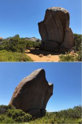
· Chill for a day in magnificent Cape Le Grand NP, east of Esperance.

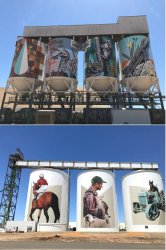
· Take in some silo art in the southern grain belt.

· Climb the Castle Rock Granite Skywalk in the Porongorup NP (Castle Rock | Explore Parks WA | Parks and Wildlife Service).

· Visit for the first time the new national Anzac Centre at Albany (Honouring the Anzacs of the First World War | National Anzac Centre).

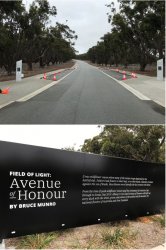
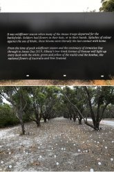
· Check out Bruce Munro’s Field of Light: Avenue of Honour running from October 2018-Anzac Day this year (Field of Light: Avenue of Honour).

· Take a look at the world’s largest wooden pendulum clock that recently went on display at Nannup (The Nannup Clock Tower | Home of the World's Largest Wooden Pendulum Clock).


No flying involved (well, maybe a little low-flying on some lonely roads…;)), but I thought a mini-TR may be of interest to some folks.

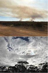
It was a very hot day in the Goldfields on the Saturday and a large bushfire was dominating the western horizon on the road S from Coolgardie. Fortunately, it was well away from us and had died out by the next morning as a cool change came through. That was also a blessing for the solid work days to follow.

Map of the route. Danged Google Maps only allows a maximum of 10 points.
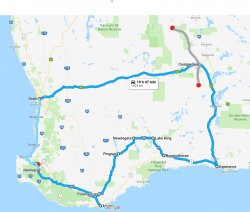
Map.jpg


1.JPG

Moving on to Esperance and Cape Le Grand NP.

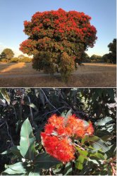
Red-flowering gum, Corymbia ficifolia, in its natural range on the western S coast of WA.
2.JPG

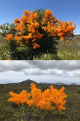
The WA Christmas tree, Nuytsia floribunda, a parasitic monotypic genus native to SW Australia. It typically flowers around Christmas around Perth but these examples in Cape Le Grand NP shows the effect of the cooler southern location inducing later flowering.
3.JPG

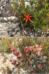
Banksia - unsure of species – and a couple of other plants.
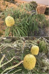
4.JPG

5.JPG
 
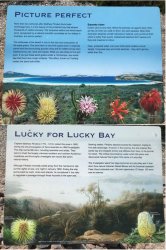
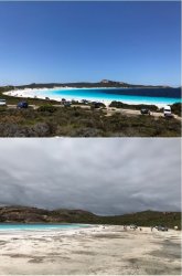
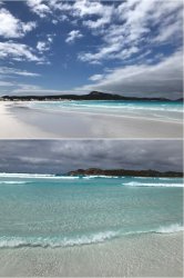
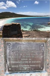
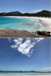
Lucky Bay is the highlight of the park. It was named by Matthew Flinders (whose grave was recently discovered in London) on his circumnavigation voyage in 1802.

6.JPG

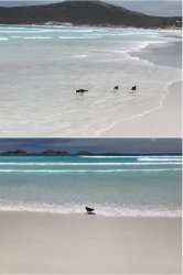
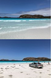
Lucky Bay is noted for the very tame kangaroos that come onto the beach. I walked closer to the kangaroo being photographed but got talking to the pleasant young lady from Seville in Spain who was taking the photo. By the time I finished talking to her, the ‘roos had left the beach, so I didn’t get a closer pic.

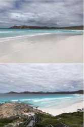
The morning was cloudy but it cleared nicely as the day went on. It’s a pleasant 2.5km walk on the firm, white, squeaky sand around the bay to a viewing platform at the E end. And a pleasant spot to drive onto the beach and have lunch.

7.JPG

8.JPG

9.JPG

10.JPG

11.JPG

12.JPG

13.JPG
 
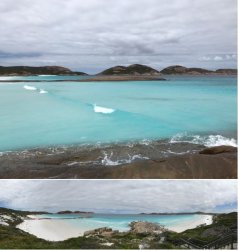
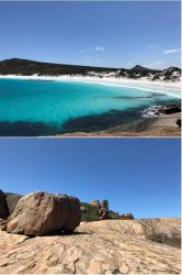
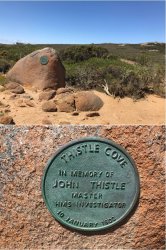
The next bay to the W of Lucky Bay is Thistle Cove, named after John Thistle, Master of HMS Investigator. And Whistling Rock.

14.JPG

15.JPG

16.JPG

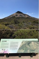
Frenchman Peak.

17.JPG

Hellfire Bay, the next bay to the W. Then, a little further W again, Le Grand beach looks west across Esperance Bay towards Esperance town.

18.JPG
 
No detour to climb Peak Charles?

No. I didn't get going from the camp site S of Coolgardie until the afternoon on Wednesday after coming back from the new camp that morning. The boys had one last lot of gear to move but I got going for Esperance as I knew it would be getting dark by the time I arrived.
 
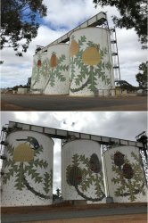
Leaving Esperance and moving on to Ravensthorpe and the silo mural Six Stages of Banksia baxteri.

19.JPG

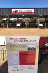
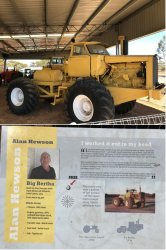
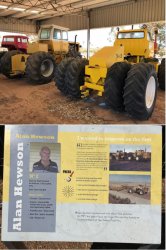
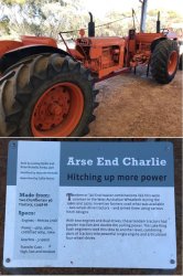
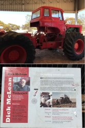
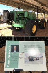
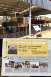
A new display has been set up at Lake King since I was last there a few years ago showcasing ‘home-made’ large tractors. Extensive areas around Lake King were cleared for agriculture in the 1960s. I can recall the government development catch-cry of ‘clearing a million acres a year’. It also coincided with the first iron ore boom and the development of bauxite mining in the Darling Escarpment and establishment of alumina refineries. WA was screaming for agricultural scientists, geologists and engineers.

I entered UWA Agriculture in 1967 but by the time of completing my undergrad degree four years later, in the biggest group to go through until then, it was nigh on impossible to get a job. Pretty much only the indentured Agriculture Department ‘cadets’ had a ‘true agriculture’ job to go to and the Department killed the cadet scheme after that.

The country around Lake King is sandy plain with natural vegetation of mallee eucalypts. Clearing and land preparation on a large scale needed heavier-duty tractors and equipment than typically available from farm machinery suppliers. A local coterie of ingenious farmers started building their own 4WD tractors – a foretaste of what is now commonplace from the likes of John Deere, New Holland, Versatile etc.


20.JPG

21.JPG

22.JPG

23.JPG

24.JPG

25.JPG

26.JPG

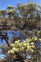
Moving west and some idea of the vegetation that was cleared, with the mallee eucalypts (I don’t know the species) flowering profusely.

27.JPG

Silo art at Newdegate and Pingrup. They have a once-a-year race meeting at Pingrup and it’s getting more into sheep-grazing country.

28.JPG
 
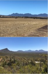
Silhouette of the Stirling Range from the N and inside the park looking W.

29.JPG

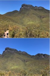
Bluff Knoll - the highest peak of the Stirling Range. It is 1,099 metres above sea level and is one of only a few places to experience regular snowfalls in WA, with some snow reported in most years.

30.JPG

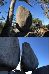
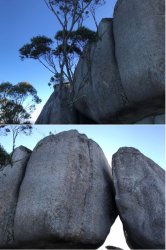
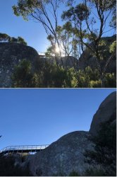
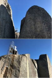
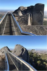
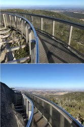
Then on to Castle Rock in the Porongurup NP, a little further S. It’s a 2.2km walk to the skywalk and a bit of a scramble over the granite boulders and a vertigo-inducing climb to get onto the platform. Well worth the effort, though.

It’s a pretty impressive bit of engineering. @Daver6 recently flew his drone from it and posted here somewhere. Maybe he can slip in the link?

31.JPG

32.JPG

33.JPG

34.JPG

35.JPG

36.JPG

37.JPG
 
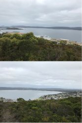
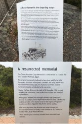
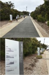
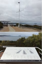
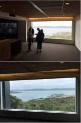
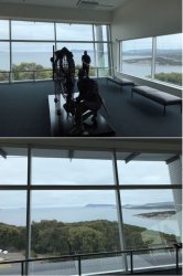
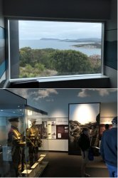
Next stop Albany. If anyone has wondered why the Anzac fleet(s) (there were two large ones) gathered here, zoom in on the display board pic. The next three pics from the Mt Clarence lookout sweep SE-S-SW.


38.JPG

39.JPG

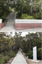
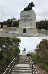
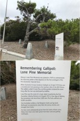
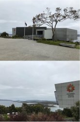
The Desert Mounted Corps Memorial has sat at the top of Mt Clarence for many years. I recall it becoming a bit run down over the years. The whole precinct has been upgraded in recent times; I guess coinciding with the construction of the adjacent National Anzac Centre.

40.JPG

41.JPG

42.JPG

43.JPG

The Field of Light on the Avenue of Honour in daylight. The field of red cones placed along the edges of the parking bays to stop people tripping on the kerb detracted quite significantly from the whole experience IMO, but safety - or would that be the risk of litigation - must prevail. Although it was less of an issue in the evening which is, of course, the main time for the display.

44.JPG

45.JPG
 
That's a solid drive JohnM. I know it reasonably well.
On your travels south from Coolgadie you would have driven past my father in law's little hobby farm near Widgiemooltha. Although you would have done well to notice it. Set back from the highway obviously and not a lot of signage in that area.

We were in Busselton over the weekend just gone. Pity our paths didn't cross over a bottle or two.

Hobby farm at Widgie? That's different :D.

I didn't stop at Busselton as my friends there were in MEL, so I just carried straight on to PER.
 
A great uncle of mine was off to Gallipoli and was taken off the ship in Albany with abdominal pain.He died 2 days later in Albany with a ruptured appendix.
So it holds an interest for me.Must get back with all that has changed.
 
Albany (and the surrounds) is such a great spot to visit. You'd think if QF or VA had regular flights there that tourism in the region would really benefit.
 
Albany (and the surrounds) is such a great spot to visit. You'd think if QF or VA had regular flights there that tourism in the region would really benefit.

That'd be interesting. Presume the airport would handle B737s and such. Maybe not anything bigger.
 
The Frequent Flyer Concierge team takes the hard work out of finding reward seat availability. Using their expert knowledge and specialised tools, they'll help you book a great trip that maximises the value for your points.
AFF Supporters can remove this and all advertisements

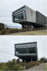
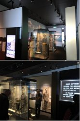
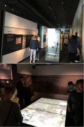
And then to the National Anzac Centre. I was impressed. There was no overweening ‘this is where the nation was forged’ overtone. If I had any criticism is was purely practical: I thought they should have had the display boards about 30cm higher. It almost required crouching to read some of the lower text, or at least standing back. It is easier, I think, for kids to look up than for adults to look down to read – especially as the space is fairly compact and it was quite busy.

I have recently read Carolyn Holbrook’s ‘Anzac: The Unauthorised Biography’ (https://www.amazon.com/Anzac-Unauthorised-Biography-Carolyn-Holbrook/dp/1742234070), which I found very interesting (also a commentary in her own words here: How Anzac Day came to occupy a sacred place in Australians' hearts), which is why I wondered just how the Centre might be pitched.

I’m currently reading Andrew Roberts’ recent biography ‘Churchill: Walking with Destiny’ (https://www.amazon.com/Churchill-Wa...=andrew+Roberts&qid=1550128544&s=books&sr=1-1) which I am finding fascinating. I’m just up to the outbreak of WW1, so that is also timely.

52.JPG

53.JPG

54.JPG

55.JPG

56.JPG

57.JPG

58.JPG
 
Status
Not open for further replies.
Back
Top